| Session 1 | ||
|
Vilisi Tokalauvere |
|
|
|
Ken Mathers |
"Analysing Incidents on a Network" | Download Now |
|
Vijendra Singh |
"Census Boundary Revision 2017" | Download Now |
|
Hirdeshni Gautam |
" Polling Venue Locator Application" | Download Now |
|
Romuluse Saqatanaivalu |
||
|
Reei Tioti |
||
| Session 2 | ||
 Ken Matghers Ken Matghers |
"Tracing Linear Networks" | Download Now |
 Aminisitai Loco Aminisitai Loco |
" GIS Application in Water Resources Assessment and Management in the Pacific" |
Download Now |
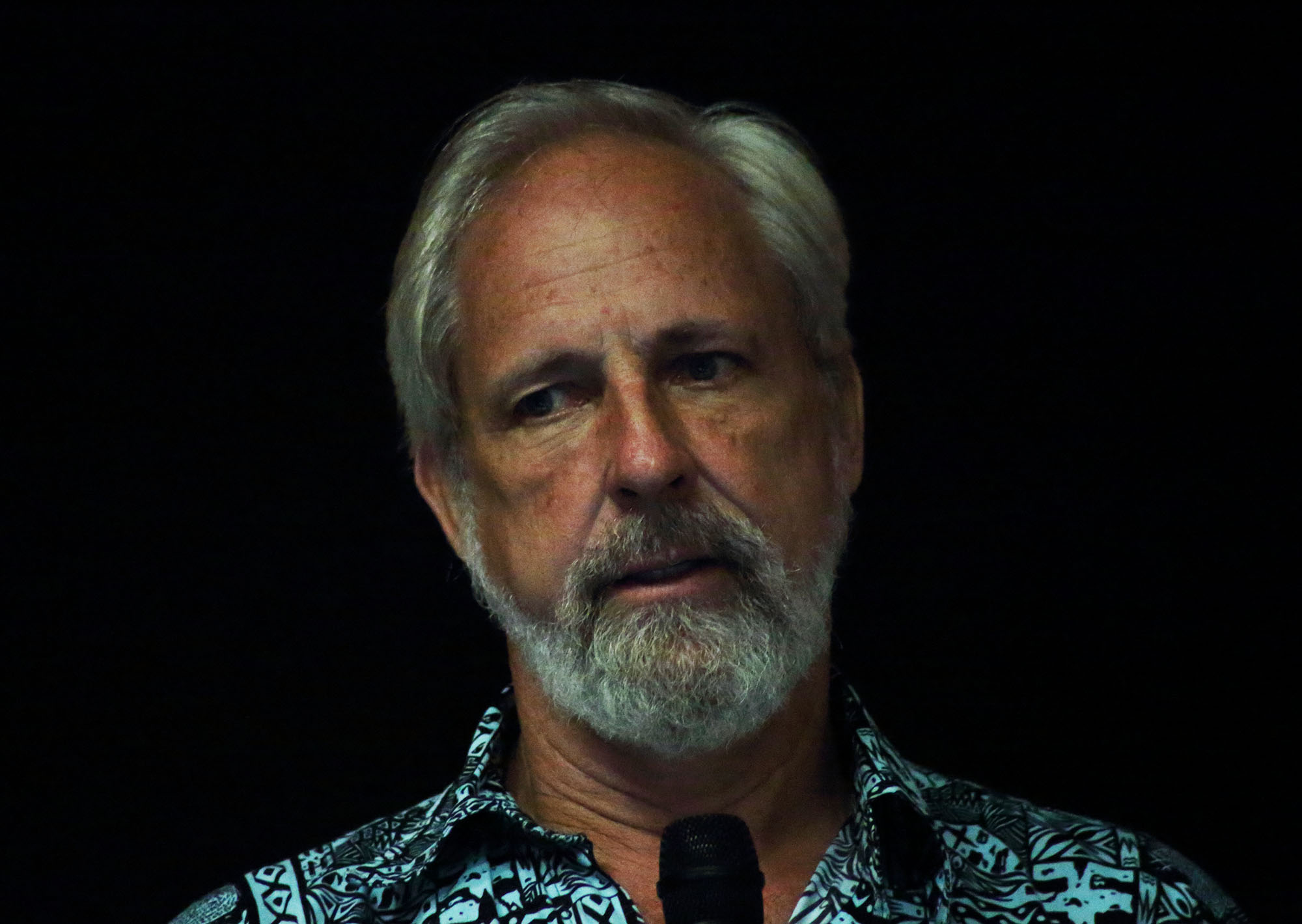 Wolf Forstreuter Wolf Forstreuter |
"TC Winston Village Damage Assessment" |
Download Now |
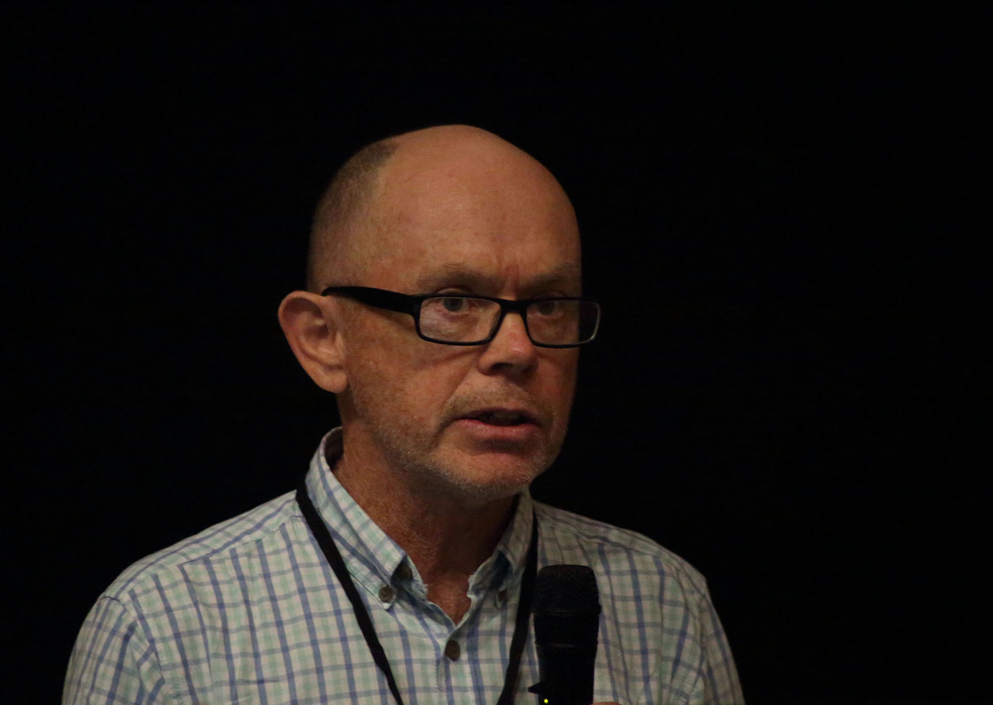 Mark Garvey Mark Garvey |
"A Crash Course in Crisis Mapping" |
Download Now |
|
|
"Inundation Survey Technics" |
Download Now |
|
Session 3 |
||
|
Cyprien Bosserelle |
" Inundation Forecasting System" | Download Now |
|
Marco Bernasocchi |
" Better Planning, Preparedness and Response" | Download Now |
|
Kate Crowley |
"An introduction to PARTneR : Pacific Risk Tool for Resilience" | Download Now |
|
Cyprien Bosserelle |
" Coastal Inundation from Severe Tropical Cyclone Winston" | Download Now |
| Session 4 | ||
|
Morris Jim Harrison |
" Tsunami Evacuation Maps, Evacuation Signs, Information Boards and Sirens for South Santo and South Efate, Vanuatu" | Download Now |
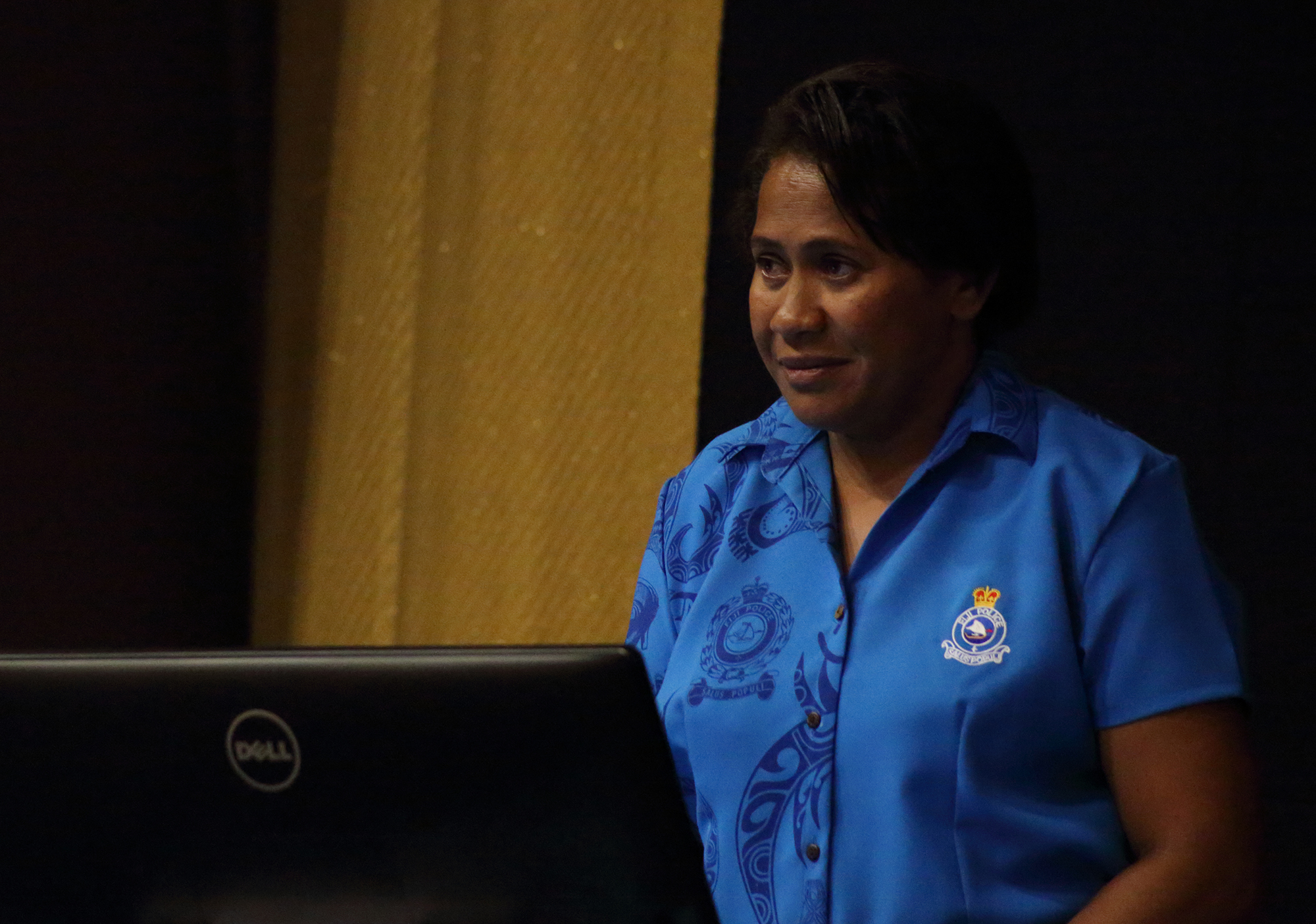 Eseta Dumukuro Eseta Dumukuro |
" Police GIS" | Download Now |
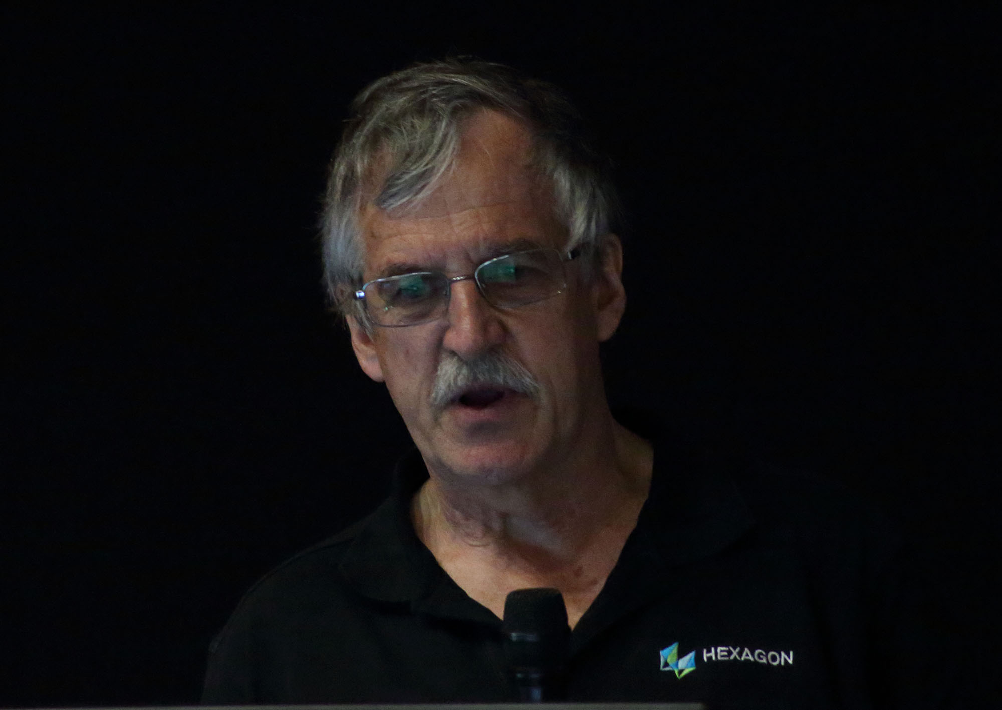 Ken Mathers Ken Mathers |
" Volume Calculation of Land Slides from Point Cloud Data Captured by UAV" | Download Now |
 Nathan Smith Nathan Smith |
"Pacific Drone Imagery Dashboard" | Download Now |
|
Richard Russell |
" Accurate Mapping Using Drones (UAV's - The Fundamentals to Obtain True Photogrammetric Accuracy are still the Same" | Download Now |
|
|
"Mapping of Majuro Atoll Using a low-cost UAV" | Download Now |
- Digitaki Tuberi
- Hits: 4408
 Herve Damlamian