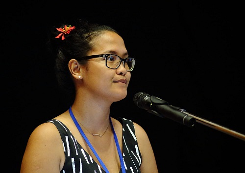
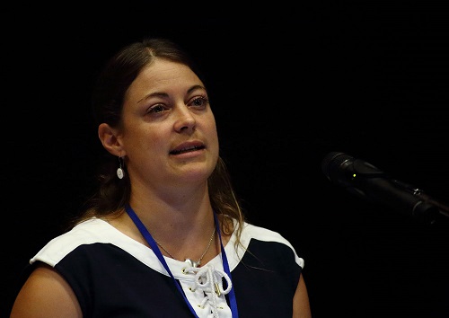
Click on the download link to download presentations from the various sessions for day 2.
|
Session 1
|
||
|
Deanna Hutchinson |
"Spatial Industries Business Association supporting Pacific Island Initatives" | Download Now |
|
Peter Kinne |
"Radar, Imagery, Elevation and the Pacific" | Download Now |
|
Viliame Tupua |
"Forest Change Analysis as Wall to Wall Mapping for Fiji REDD+" | Download Now |
|
Martin Isenburg |
"Integrating External Ground Points in Forests to Create DTMs from Dense-Matching Photogrammetry" | Download Now |
|
Lanieta Rokotuiwa Kaya |
"Accuracy Assessment of Wall to Wall Forest Change Detection in Fiji" | Download Now |
|
Rocky Kaku |
"GIS/RS multi-scale approach for the assessment of Mangrove Species Composition and Coverage" | Download Now |
|
Session 2
|
||
 Luis De La Rua Luis De La Rua |
"Improving collection and access to high-quality statistical data" | Download Now |
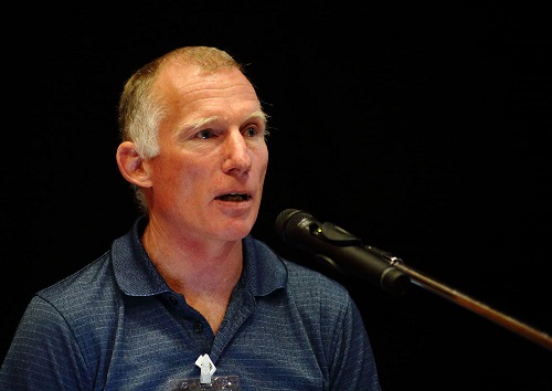 Warren Eade Warren Eade |
"Microsoft & Windows 10 Support Problems for Trimble" |
Download Now |
|
William Ganileo |
"Integrating GIS tools into EIA and expanding the CESMP in Projects for economic development. The case of Port Vila Urban Development (PVUDP)" |
Download Now |
|
Guillame Wattelez |
"Using supervised learning for modeling biogeochemical parameters in New Caledonia with MODIS ocean color" | Download Now |
|
Remi Andreoli |
"Flash floods impact mapping in Pacific Island urban environment using 30cm satellite imagery" |
Download Now |
|
Christopher Pearson |
"Tectonic deformation in the South Pacific, the effect on spatial references and what GIS professionals can do about it" |
Download Now |
|
Session 3
|
||
|
Petrea Helmhlo |
"The assessment of burn wounds using Photogrammetry" | Download Now |
|
Josua Wainiqolo |
"Transition of GIS Development and its Impact at WAF" | Download Now |
|
Judith Giblin |
" Latest of the PARTner Project" | Download Now |
|
Session 4
|
||
|
Maria Kottermair |
"Majuro Atoll: 1-Meter Digital Elevation Model - Improving Elevation Mapping in the Pacific" | Download Now |
|
Martin Isenburg |
"Point Clouds in the Browser" | Download Now |
|
Maria Kottermair |
"Digital Atlas of Micronesia - A new online-GIS standard for the Pacific Islands" | Download Now |
