| Session 1 | ||
|
Vilisi Tokalauvere |
"Forest Change Detection Fiji 1991, 2001, 2007 and 2012, as Wall to Wall Mapping" | Download Now |
|
Jose Alan Castillo |
"Evaluation of Sentinel Satellite Imagery in Modelling the aboveground Biomass of Mangrove Forest and their Competing land uses" | Download Now |
|
Armando A Apan |
"Using Hansen's Global Forest Cover Change Datasets to Assess Forest Loss in Terrestrial Protected Areas" | Download Now |
|
Latilevu Valemani |
" Determining the spread of African tulips in the Nadroumai Area using GIS" | Download Now |
|
Romuluse Saqatanaivalu |
" Identification of African Tulip with WorldView 3 Image Data" | Download Now |
|
Reei Tioti |
"Upgrading and Maintaining of the Current Problems Faced by Kiribati Land Information System (KLIS/KLIMS) | Download Now |
| Session 2 | ||
 John Kaitu'u John Kaitu'u |
"QBOOK - Building GIS Capacity from the Ground Up" | Download Now |
 Bjorn Hetch Bjorn Hetch |
" Land Cover Change Detection in Fiji Through Collect Earth" |
Download Now |
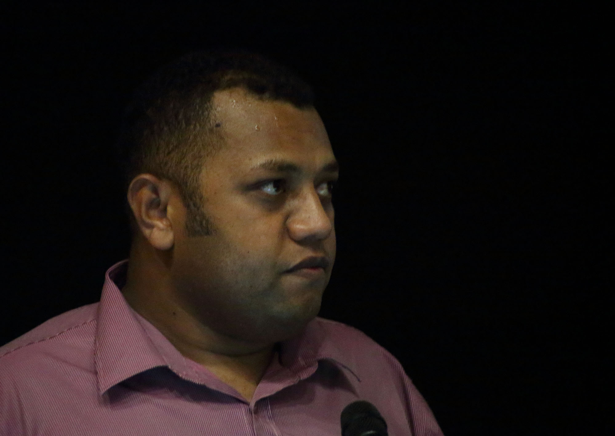 Epeli Nadraiqere Epeli Nadraiqere |
"Revised TLTB Land Use Plan for Greater Suva" |
Download Now |
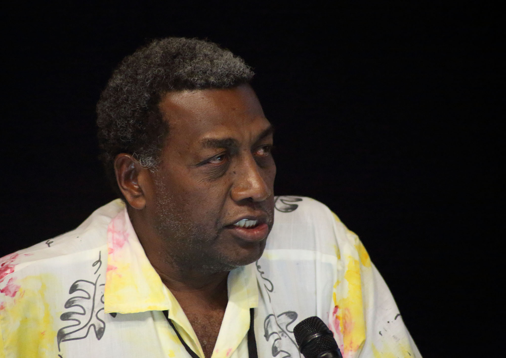 Williams P. Ganileo Williams P. Ganileo |
"GIS in Land Use and EIA Process" |
Download Now |
|
|
"Transfer of Wealth Through Estate Planning" |
Download Now |
|
|
"Semi Automatic Mapping of Houses" |
Download Now |
|
Session 3 |
||
|
Faatasi Malologa |
" Pacific Geospatial and Survey Strategy" | Download Now |
|
Andrick Lal |
" Vertical Reference Frame in the pacific" | Download Now |
|
Faatasi Malologa |
"Tuvalu's Outer Island Geodetic Survey" |
Download Now |
|
Rob Sarib |
"Modernisation Process of a Geospatial Reference System and its Integral Role in Thematic and of Course the role of PGSC" | Download Now |
| Session 4 | ||
|
Aileen Prasad |
" Update on USP's Geospatial Program Year II" | Download Now |
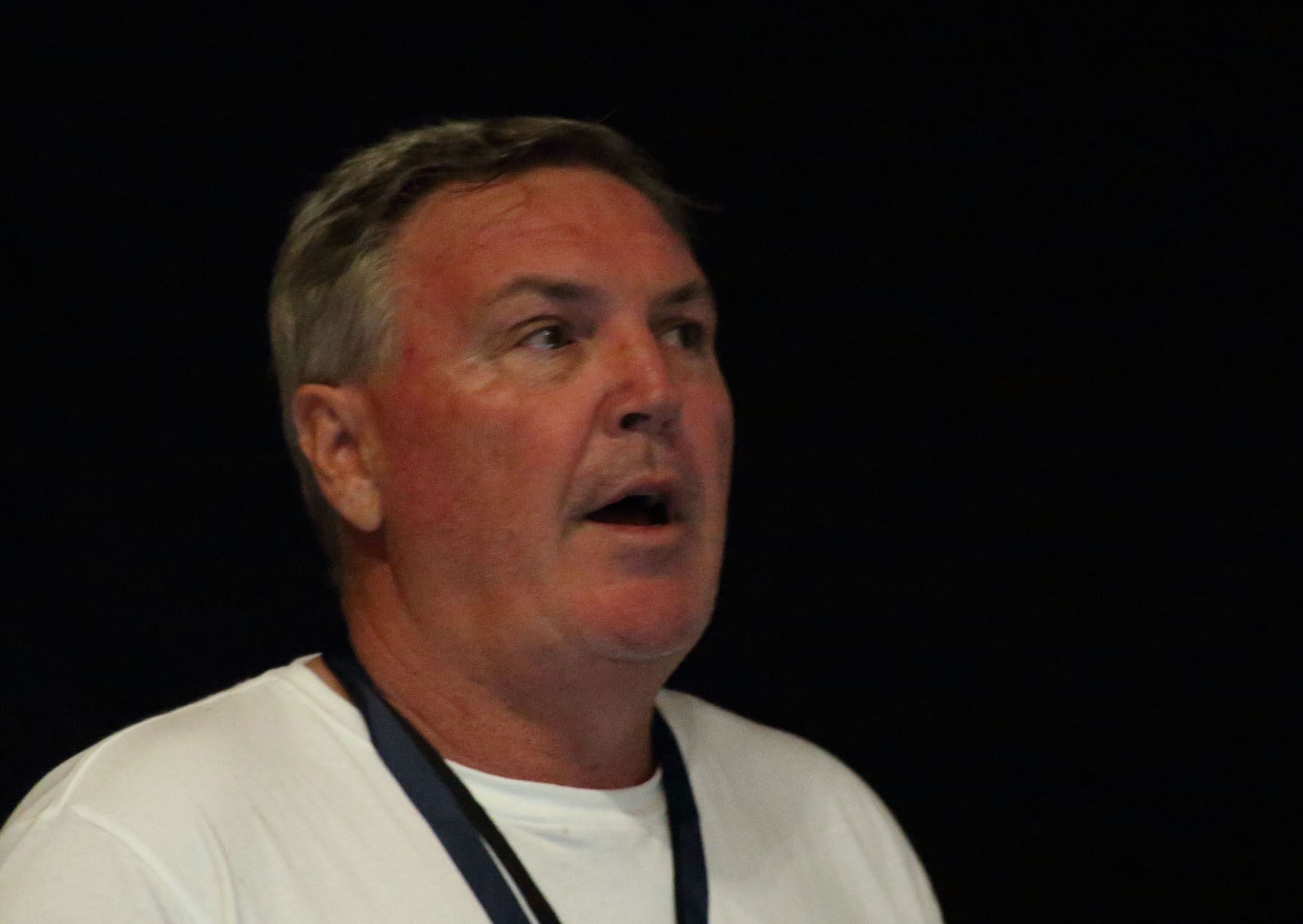 Nick Rollings Nick Rollings |
" GS231 : Teaching Cartography and the Role of Peer Assessment" | Download Now |
 Andrea Jalandoni Andrea Jalandoni |
" Using 3D Modelling and GIS Tools to Identify Rock Art" | Download Now |
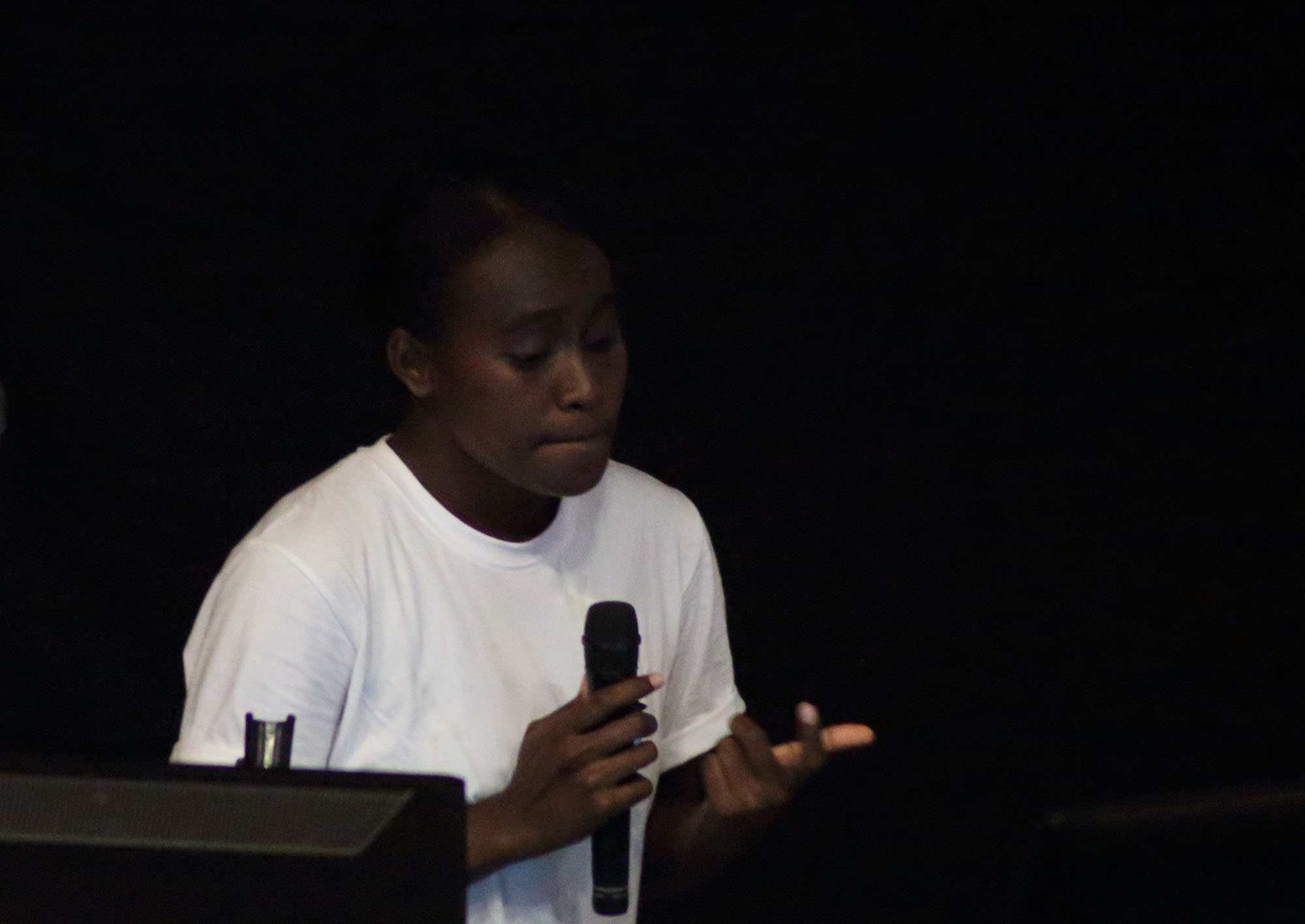 Semisi Ketenilagi Semisi Ketenilagi |
"Update on USP's Geospatial Program Year II" | Download Now |
- Digitaki Tuberi
- Hits: 4507
 Atonio Takala
 Vilisi Tokalauvere