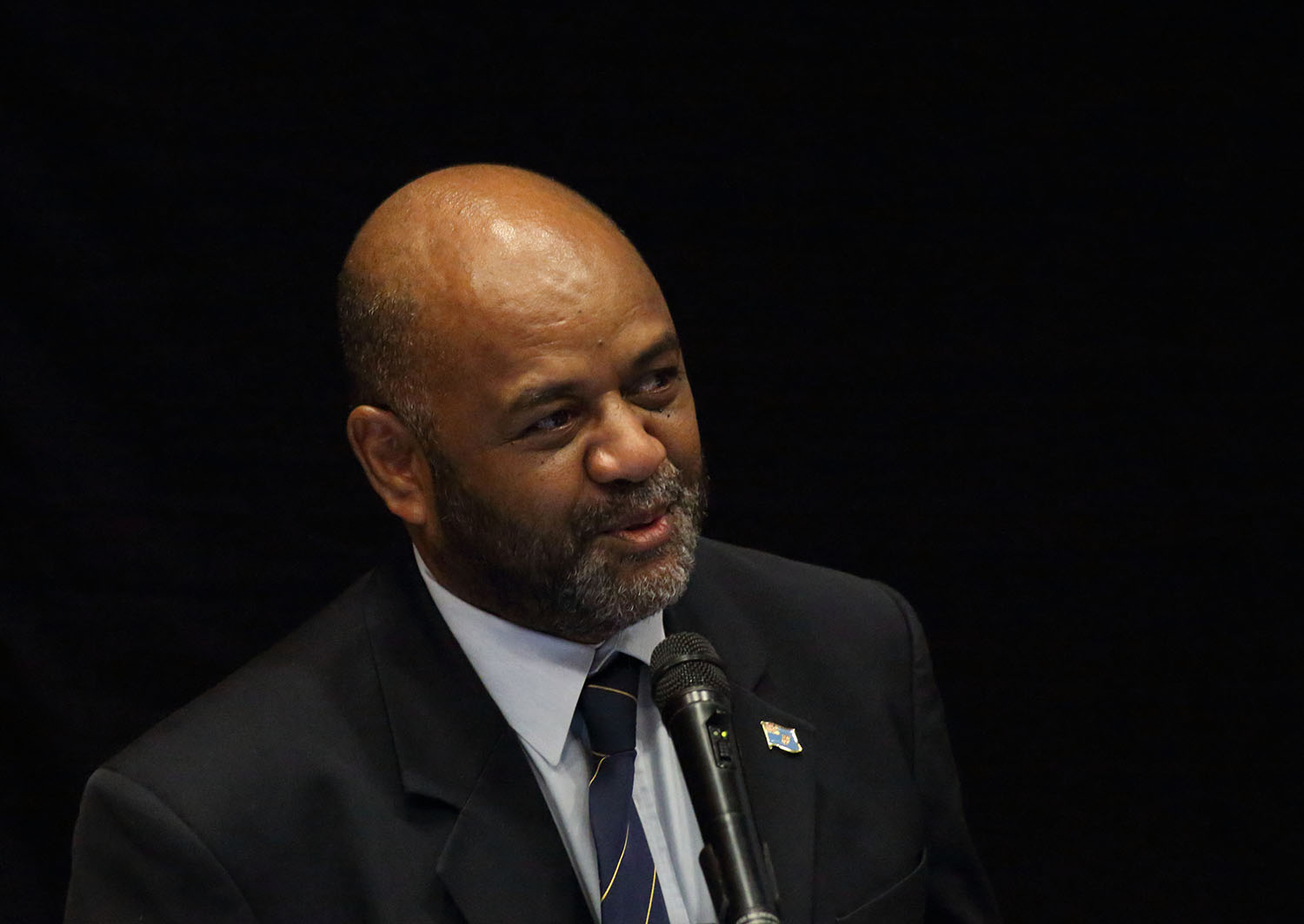
Mr Malakai Finau
The 2016 GIS/RS Pacific Islands user conference was officially opened by Fiji's Permanant
Secretary for the MINISTRY OF LANDS AND MINERAL RESOURCES Mr Malakai Finau.
| Session 2 | ||
 Mr Peter Kinne Mr Peter Kinne |
"A journey to Thinking Big Spatially with Big Data" | Download Now |
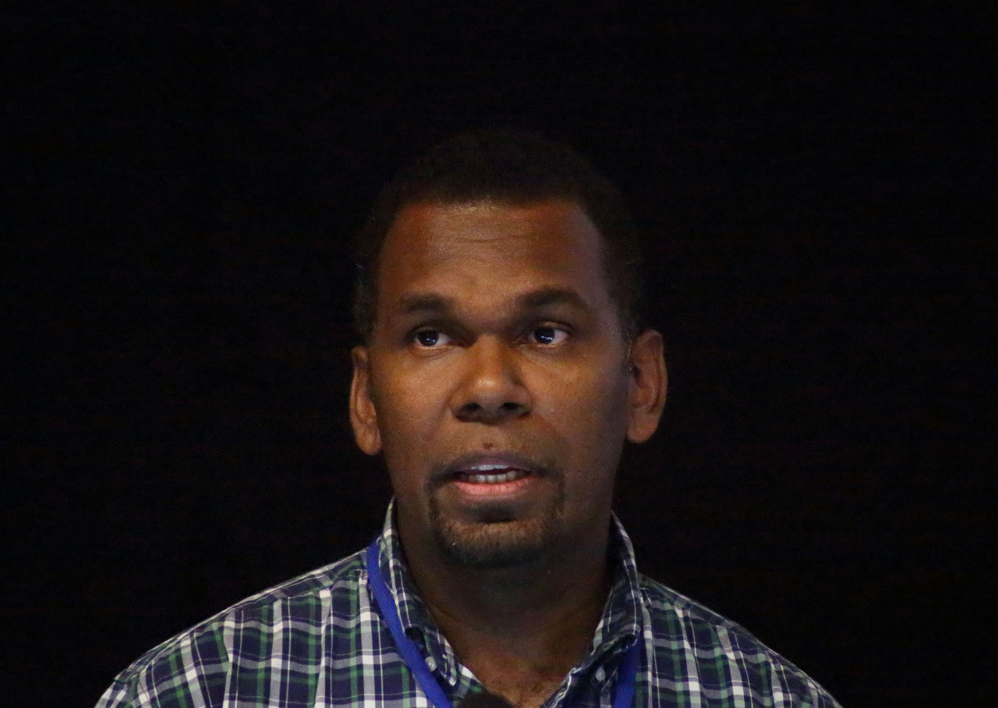
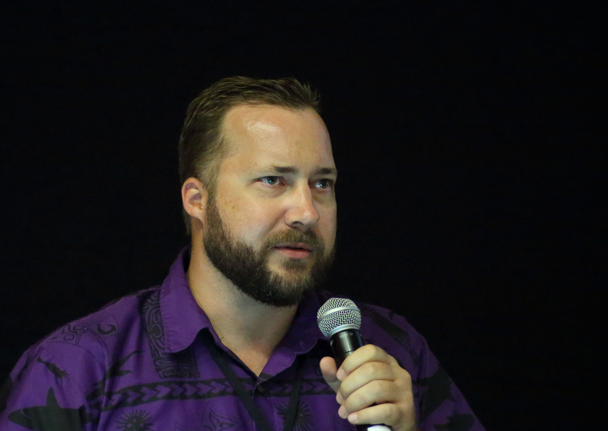
 Leba Gaunavinaka Leba Gaunavinaka |
" The Journey from VanuaView to VanuaGIS" |
Download Now |
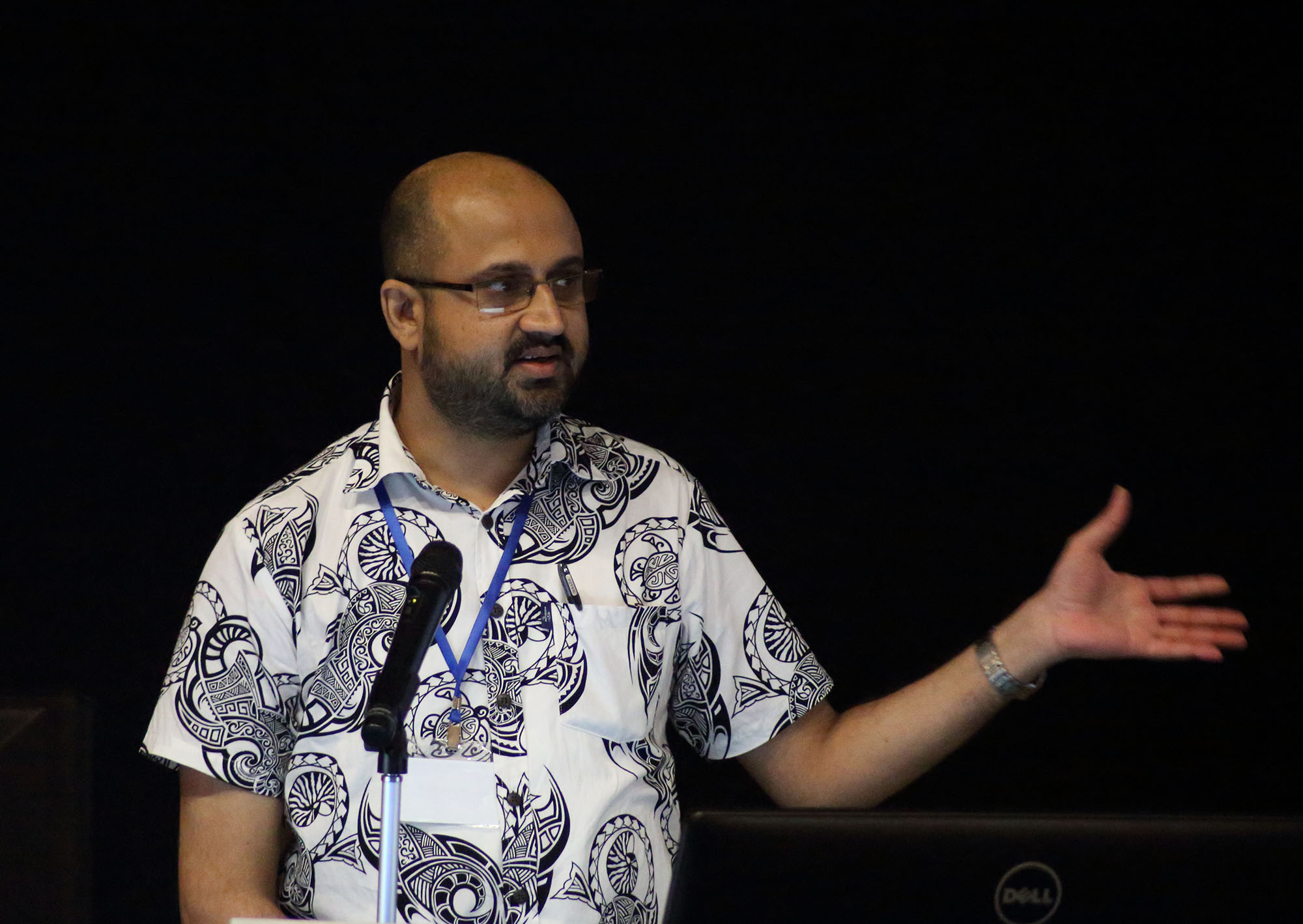
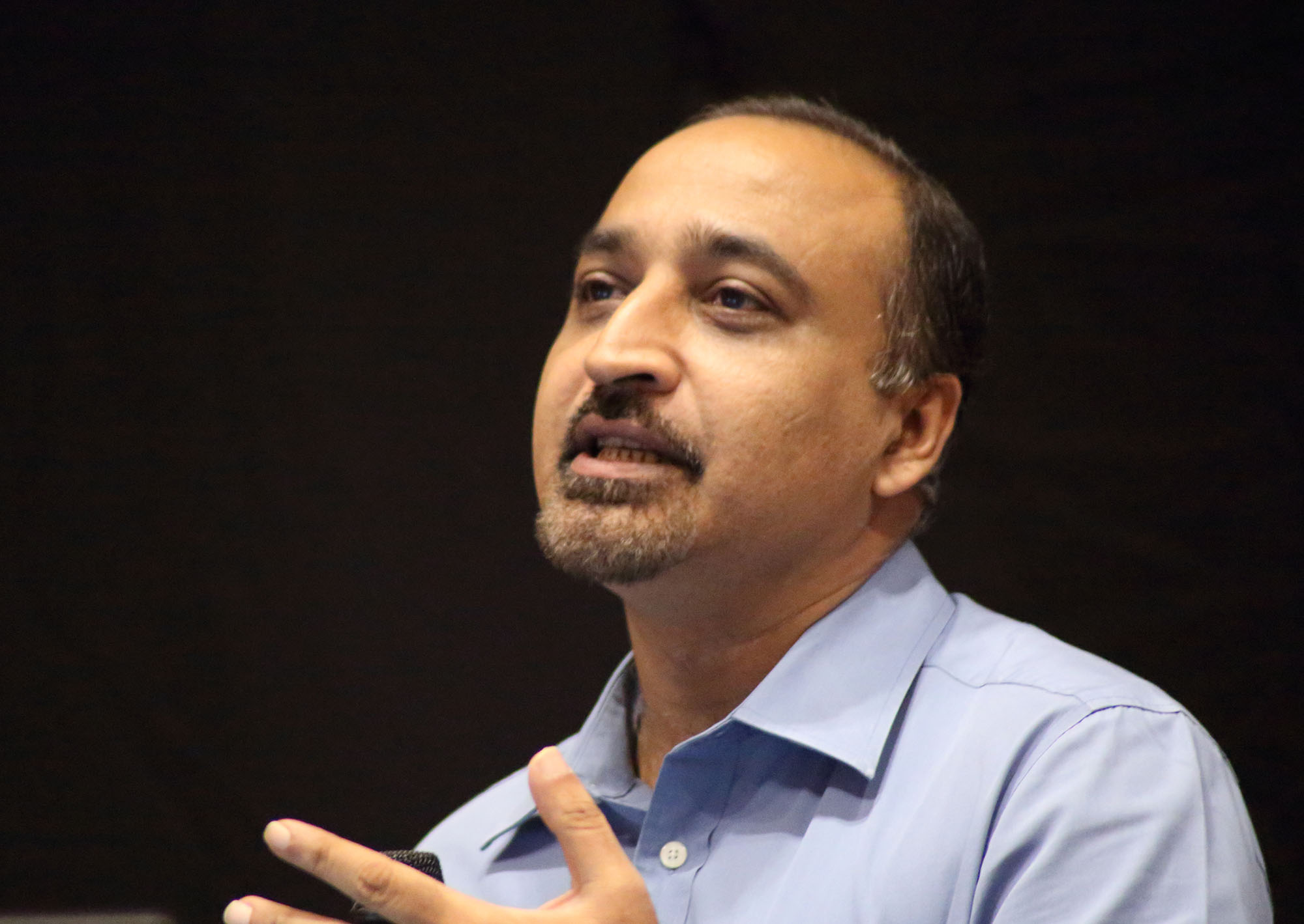 Abhineet Jain Abhineet Jain |
"The Launch of WV4 and combining it with WV3 for Pacific Solutions" |
Download Now |
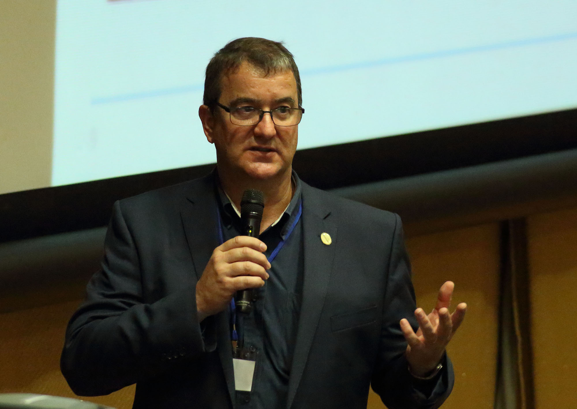
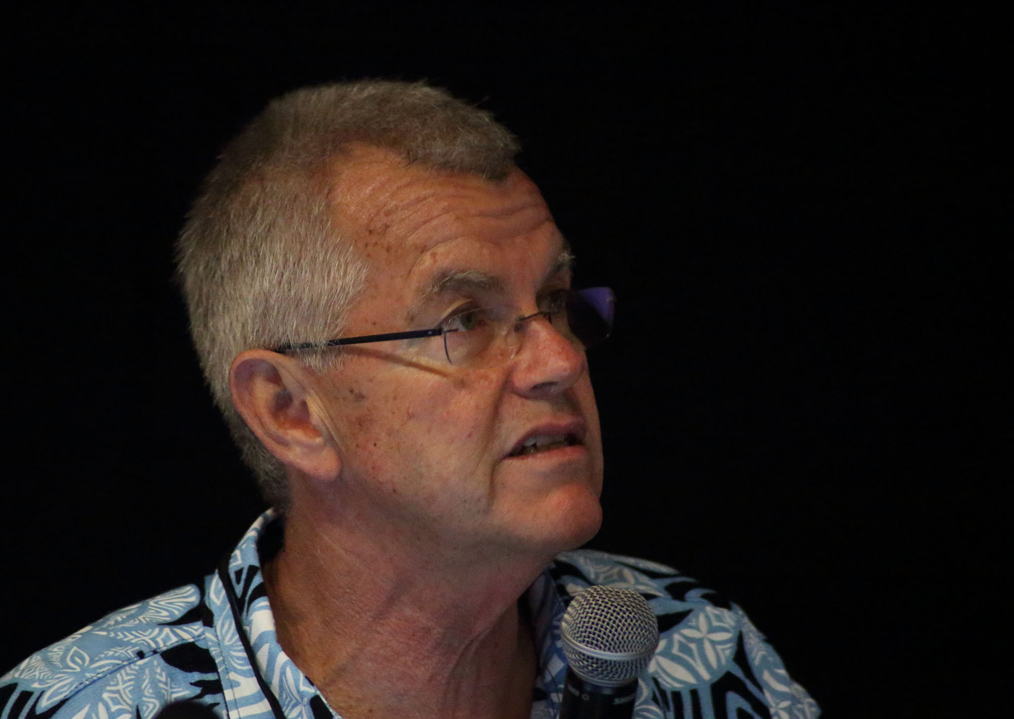
 Holger Eichstaedt Holger Eichstaedt |
"Airborne Remote Sensing Applications for the Exploration of Geothermal potential" |
Download Now |
|
|
Vanua-GIS : A model for the Pacific |
Download Now |
|
|
"Improved Marine Protect Area Spatial Data Management and Sharing Using Open-Source Solutions" |
Download Now |
|
Session 3 |
||
|
Kenna Kelly |
"Lessons Learning Using GIS for Emergency Management" | Download |
|
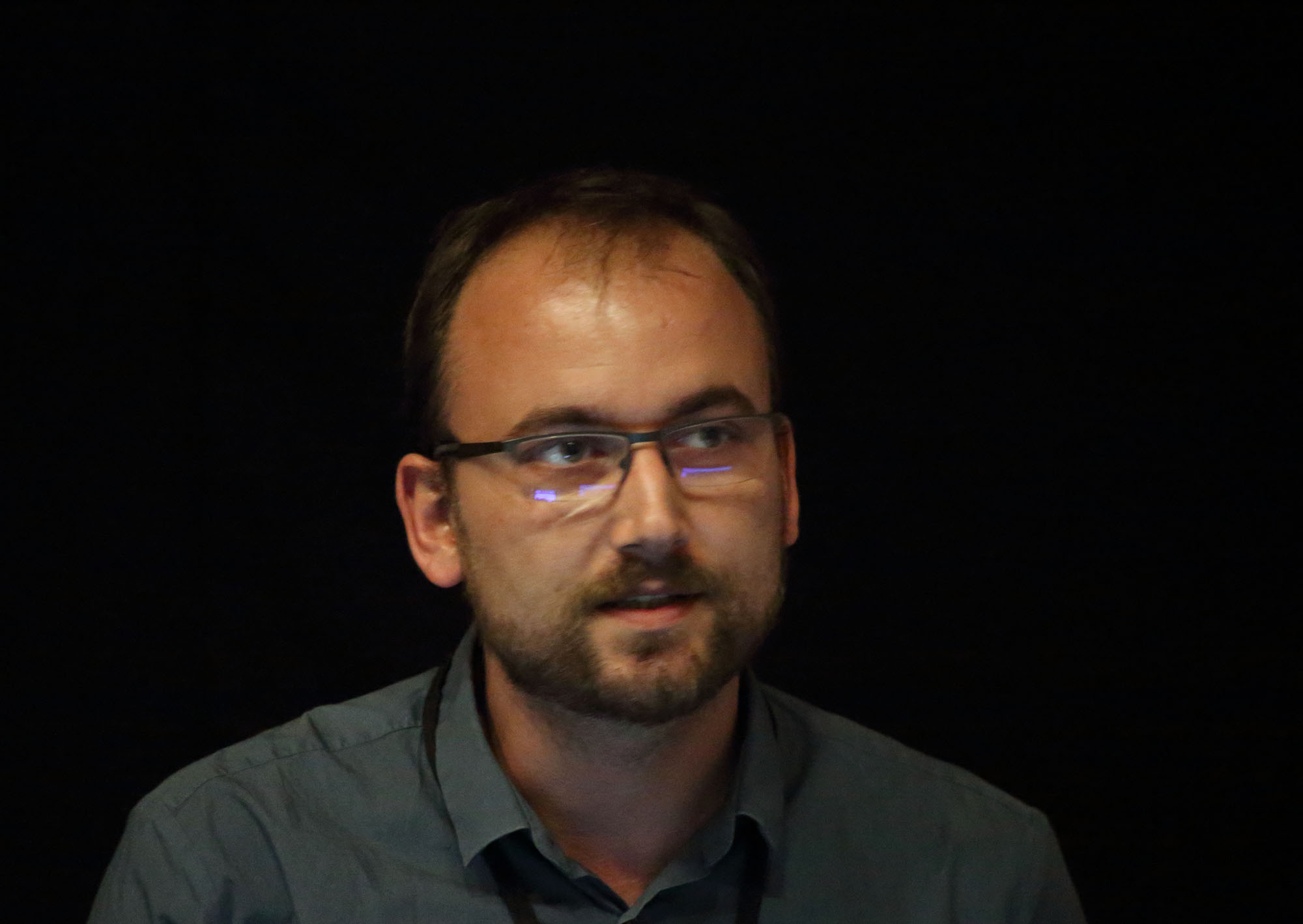
Marco Bernasocchi |
"Field to Web via QGIS, An example of OpenSource possibilities in GIS" | Download |
|
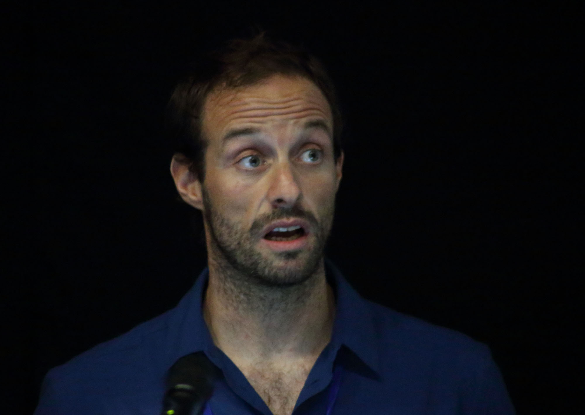
Remi Andreoli |
" Geospatial Cloud Computing Solution Aplplied to New Caledonia Forest Monitoring" | Download Now |
|
Sachindra Singh |
"PacSAFE: Rapid Impact Mapping for Disasters" | Download |
| Session 4 | ||
|
Jonah Sullivan |
"Geoprocessing with Python" | Download |
 Cliver Fraser Cliver Fraser |
"International Society of Photogrammetry & Remote Sensing: Serving society with information from images" | Download |
 Rob Sarib Rob Sarib |
"Cooperation is the Key, FIG can facilitate" | Download |
 Holger Eichstaedt Holger Eichstaedt |
" Usage of an Airborne Multisensor Data for Mapping, Planning and Monitoring of the Interface between reef and coastal areas - Examples from Fiji and New Caledonia" | Download |
 Phil Woods
 Ryan Wright