|
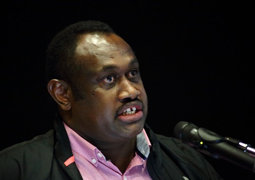
The 2017 Pacific GIS & RS User Conference was offically opened by Fiji's Minister for Lands and Mineral Resources, Hon. Faiyaz Koya |
Click on the download link to download presentations from the various sessions for day 1.
|
Session 2
|
||
|
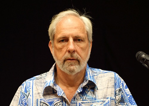
Wolf Forstreuter |
"The Pacific GIS & Remote Sensing Council" | Download Now |
|
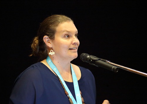
Molly Powers-Tora |
"The Pacific GIS & Remote Sensing Counile and the Pacific Surveyors and Geospatial Council" | Download Now |
|
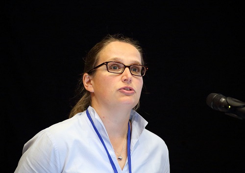
Petra Helmholtz |
"ISPRS - International Society for Photogrammetry and Remote Sensing: Serving society with information from images" | Download Now |
|
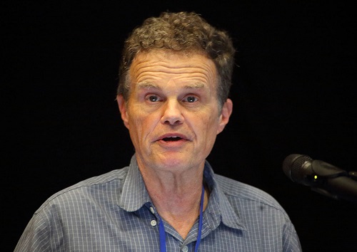
Christopher Pearson |
" The MOU between the New Zealand Institute of Surveyors and the PGSC, an update" | Download Now |
|
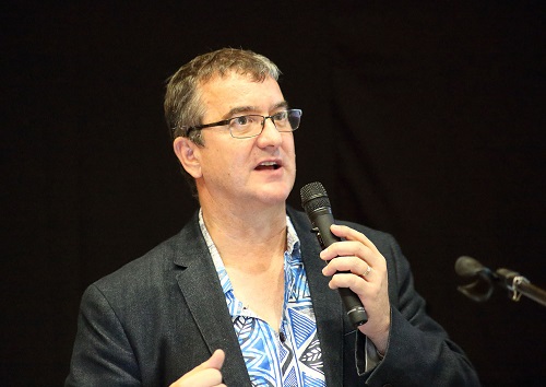
Peter Kinne |
"New Constellations, new Capabilities, and Future Opportunities" | Download Now |
|
Session 3
|
||
 Adrian Nicolae Adrian Nicolae |
"The European Union's Coernicus Marine Service - Applications in the field of Ocean Governance and Climate change" | Download Now |
 Ken Mathers Ken Mathers |
"Photogrammertry and Remote Sensing in the Cloud" |
Download Now |
|
Steven Ackerly |
"Geospatial Systems and Sharing Data" |
Download Now |
|
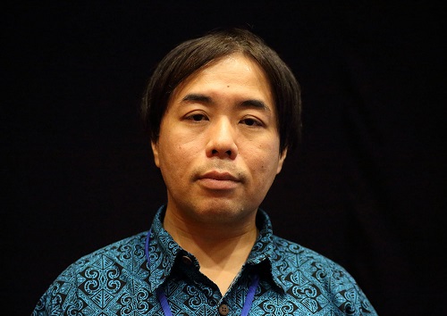
Tsugito Nagano |
"Information services using satellite-based remote sensing technology from Japan" |
Download Now |
|
Session 4
|
||
|
Matin Isenburg |
"Open data and its Benefits to Society: Remembering the Bunchenwald Concentration Camp" | Download Now |
|
Thomas Schroeder |
" Remote sensing applications in support of coastal zone management" | Download Now |
|
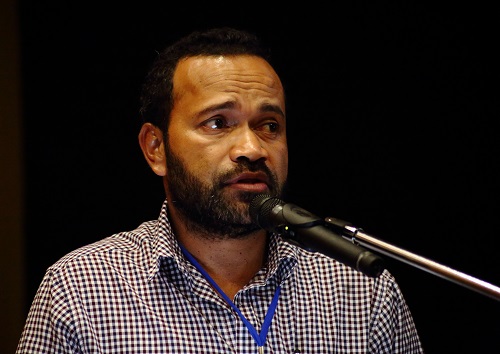
Jiuta Korovulavula |
"Open Map Tool for National Disaster Management Office in Fiji" | Download Now |
|
Viliame Waqa |
" Photogrammetry Developments at the Fiji Lands Department" | Download Now |