Click on the download link to download presentations from the various sessions for day 3.
|
Session 1
|
||
|
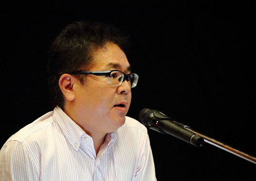
Malakai Vakautawale |
"The Maritime Boundaries in the Pacific, the latest update" | Download Now |
|
|
"The COMETE project: use of ocean colour for bloom detection and turbidity survey around Pacific islands" | Download Now |
|
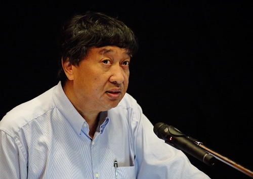
Jonah Sullivan |
"S-121 Maritime Boundaries Exchange Format" | Download Now |
|
Rémi Andreoli |
"Coastlines and coast characterization exploiting geospatial cloud computing" | Download Now |
|
|
"Estuarine Circulation in the Rewa River, Fiji" | Download Now |
|
Session 2
|
||
 Rémi Andreoli Rémi Andreoli |
"The monitoring of Maritime Incident using remote sensing and cloud solution" | Download Now |
 Moritz Moritz |
"Maritime Boundary Project in the Region" |
Download Now |
|
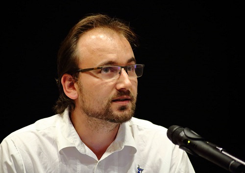
Philipp Gassner |
"The user perspective: GIS for Marine Spatial Planning in Pacific Island Countries" |
Download Now |
|
Timoci Koliyavu |
"Characterizing Chlorophyll plumes in Fiji Waters from Ocean Color Remote Sensing (OCRS)" | Download Now |
|
Lauren Power |
"Developing capability with PacSAFE: An update of the tool and project" |
Download Now |
|
Session 3
|
||
|
Hirdeshni Gautam |
"Radar Data Availability for Fiji" | Download Now |
|
John Magnifico |
"Digital Transformation in Agriculture" | Download Now |
|
Jonah Sullivan |
"QGIS Plugin Development" | Download Now |
|
Warren Eade |
"Trimble Catalyst" | Download Now |
|
Session 4
|
||
|
Amrita Lal |
"WeRobotics Pacific Flying Lab" | Download Now |
|
Richard Russell |
"Drone mapping of Informal Settlements in support of Census" | Download Now |
|
Maung Khin |
"Innovative Mapping Technologies and GIS Solutions for Environmental & Disaster Management" | Download Now |
|
|
||
|
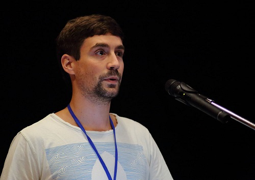
Richard Russell |
"Long enduarance, autonomous deep-stall landing Drone Technology" | Download Now |
 Celie Dupouy
 Edward Anderson