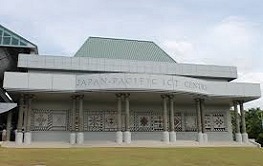
Since the Inception of the first User Conference in 1999, this annual event has attracted alot professionals from around the world to the Sunny Island most of us call home..
Each year the range of GIS/RS technologies presented cover an array of applications including the management of resources of the small island Pacific nations.
Shallow water bathymetry derived from satellite imagery, forest function maps to identify areas for to be protected, areas identified for developments in flood zones are some of the applications where the development of GIS/RS in the region have been applied in various sectors.
As with previous conferences, there are no fees levied for those wishing to attend. Donations however are graciously accepted. For the year 2015 the theme of the conference is Bridging Information gaps by Creating Smarter maps.
